IN SAN LUIS POTOSI CITY


  Maps and Weather
   
 
  THE REGION


San Luis Potosi is located in the central portion of Mexico, between 34º 33' and 21º 10' of north latitude
and 98º 21' and 102º 15' of west length. The Tropic of Cancer crosses it in the northern zone.

San Luis Potosi has a surface of 62,848 km2 with a population of approximately 2'299,360 inhabitants. It adjoins
to the north with the State of Coahuila to the northeast with the State of Nuevo Leon and with the State of Tamaulipas;
to the east with the State of  Veracruz; to the south, with the State of Guanajuato, with the State of Queretaro and with
the State of Hidalgo; to the southwest with the State of Jalisco; and to the west, with the State of Zacatecas.


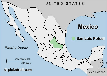
San Luis Potosi City is the Capital of the  State  of San Luis Potosi, located 424 km from Mexico City, by the federal highway 57 in Mexico.


MAP OF THE CITY


  Weather


San Luis Potosi doesn't suffer the high summer temperatures and humidity of coastal areas. The annual temperatures average is: maximum 25.7º C. and minimal of 10.7º C. If you want to know the local weather before your visit, please check: http://smn.cna.gob.mx/smmpt/estadosrm/ciudades/s_luis_potosi.html


Home
 

Contact:iawa@ibiologia.unam.mx
Teresa Terrazas